Featured Project:
Coral GablesCoastal wetlands provide essential direct livelihood services to millions of people, as well as critical regulating services such as maintenance of water quality, protection from storms and erosion, and carbon sequestration. Measuring the vertical movement of the coastal wetland surface and its constituent processes, and relative local sea-level rise (SLR) is necessary to determine whether a wetland can keep pace with SLR.
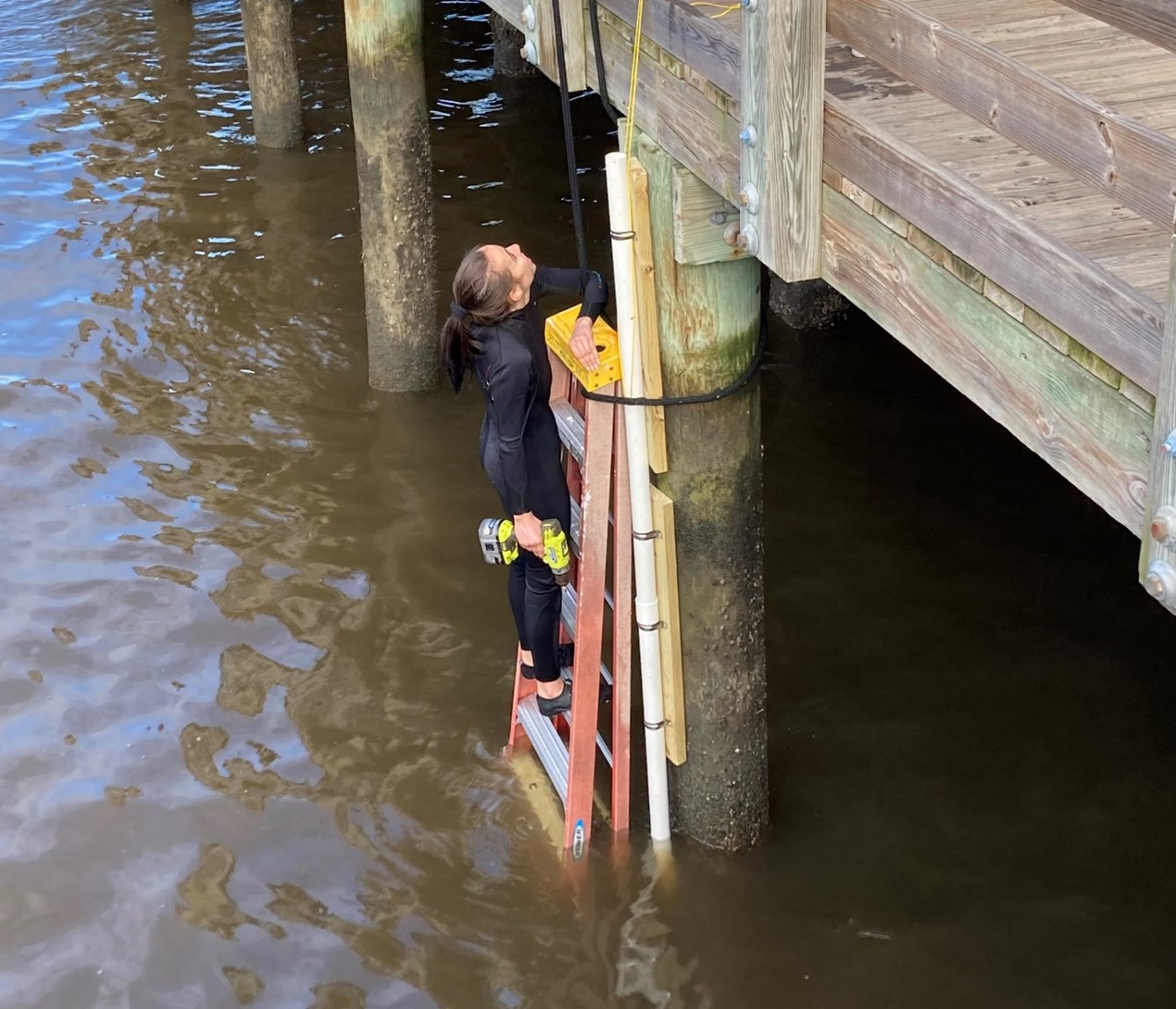
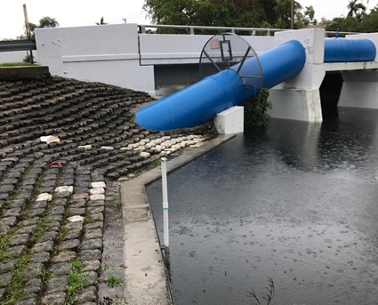
Tidal data can assist in understanding localized flooding associated with king tide flooding and sea-level rise. These data are an important resource for hurricane preparations and for recreational use about boat clearance through rivers and canals. LEARN MOREAbout the Lab
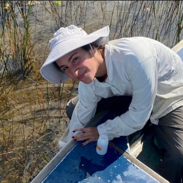
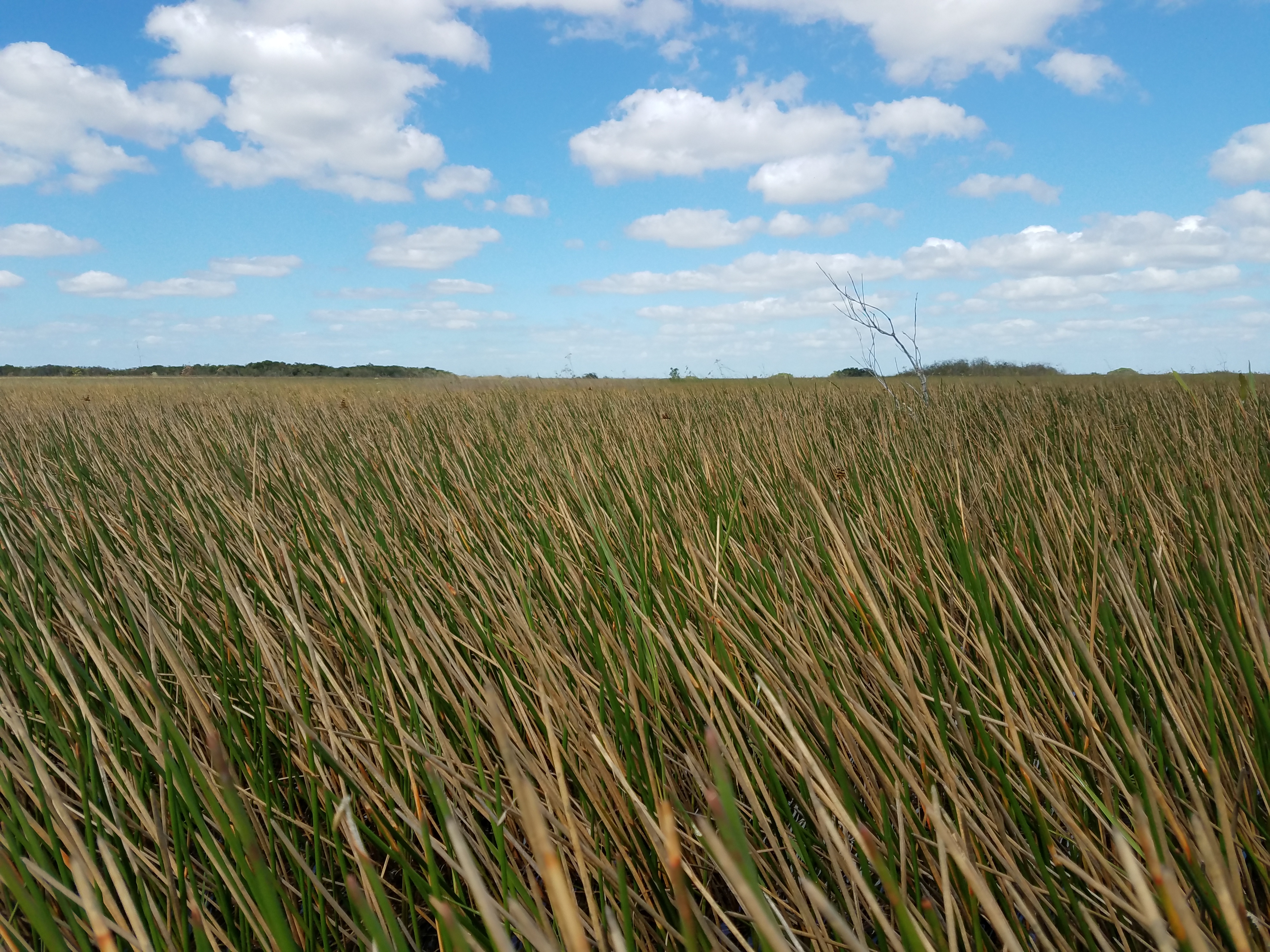
Our research focuses on the ecology of wetland ecosystems and coastal sustainability, including resilience of urban coastal environments. Wetland ecosystems where we work include mangrove forests, freshwater and estuarine marshes and tidal creeks. Our work integrates hydrology, plant ecology and biogeochemistry to understand ecosystem-level structure, process and change in the Everglades and other ecosystems, including of Biscayne Bay. We use this information to monitor the response of ecosystems to large-scale changes including management actions undertaken as part of hydrologic restoration and due to sea-level rise.
Our work also traverses into the urban boundary and advances interdisciplinary and collaborative research that supports local to regional strategies and actions for climate change mitigation and adaptation. Some of our featured projects include monitoring progress and benefits of Greater Miami’s Resilient305 Strategy and citizen science-powered monitoring of extreme environmental conditions in urban areas like seasonal tidal flooding and heat to both understand the local distribution of these impacts, promote effective adaptation strategies, and increase community awareness and education.Recent Publications
Detecting Vegetation to Open Water Transitions in a Subtropical Wetland Landscape from Historical Panchromatic Aerial Photography and Multispectral Satellite Imagery
Lamb-Wotton, Lukas & Gann, Daniel & Velazquez, Jesse & Troxler, Tiffany. (2022). Detecting Vegetation to Open Water Transitions in a Subtropical Wetland Landscape from Historical Panchromatic Aerial Photography and Multispectral Satellite Imagery. Remote Sensing. 14. 3976. https://doi.org/10.3390/rs14163976
Hyperlocal Observations Reveal Persistent Extreme Urban Heat in Southeast Florida
Clement, A., Troxler, T., Keefe, O., Arcodia, M., Cruz, M., Hernandez, A., Moanga, D., Adefris, Z., Brown, N., & Jacobson, S. (2023). Hyperlocal Observations Reveal Persistent Extreme Urban Heat in Southeast Florida. Journal of Applied Meteorology and Climatology, 62(7), 863-872. https://doi.org/10.1175/JAMC-D-22-0165.1
Hurricanes fertilize mangrove forests in the Gulf of Mexico (Florida Everglades, USA)
Castañeda-Moya, E., V.H. Rivera-Monroy, R.M. Chambers, X. Zhao, L. Lamb-Wotton, A. Gorsky, E.E. Gaiser, T.G. Troxler, J.S. Kominoski, and M. Hiatt. 2020. Hurricanes fertilize mangrove forests in the Gulf of Mexico (Florida Everglades, USA). PNAS 117(9): 4831-4841.
Our Team

